
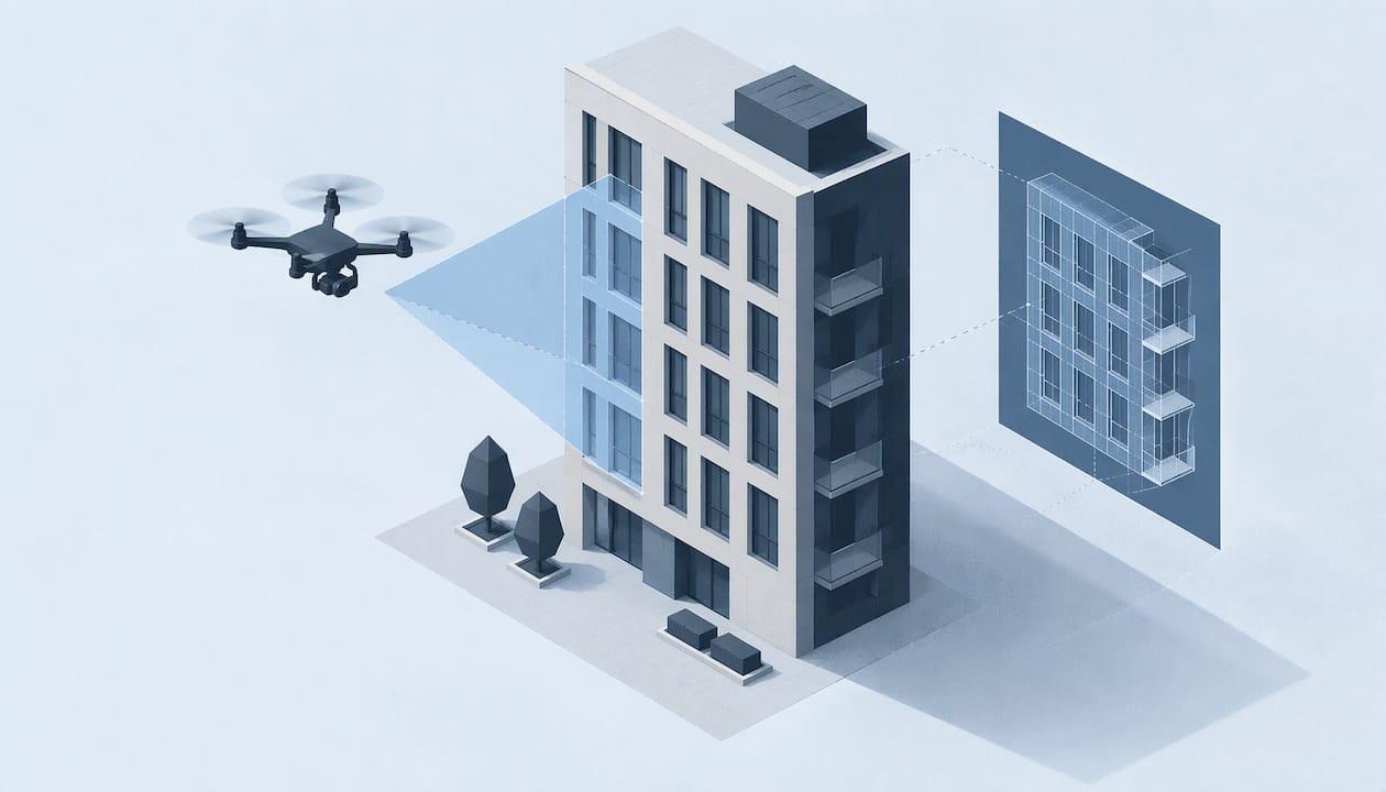
A building façade survey is a recorded inspection of a building’s external envelope: walls, cladding, stonework, windows, doors, parapets and the joints between them. A drone survey is a practical way to do it. It captures every elevation from close range in one visit and turns the images into a 3D model your team can measure, annotate and share. We build these models for architects, building surveyors, churches, estate owners and contractors across the UK, and this guide explains what a façade condition survey should contain and what to specify when you commission one.
TL;DR
-
A façade condition survey records the state of every external element, locates each defect and gives the owner a basis for repair planning.
-
Drone capture photographs the whole elevation, including roofs, parapets and high stonework, in one visit and without scaffold or platform access for the survey itself.
-
Our models open from a link in a web browser, with measuring tools, pinned notes and linked 45MP close-up photographs, and data is supplied in formats that work with CAD and survey software.
-
Check the operator’s CAA authorisation, insurance and the outputs you need before you commission.
-
Some façades, such as curtain walling or external wall systems on residential blocks, also need a specialist consultant’s assessment alongside the survey.
Table of Contents
What a façade survey is
A façade survey establishes the condition of the outside of a building at a given date. It answers practical questions. Where is the stone eroding? Which pointing has failed? Are cladding units still aligned? Where is water getting in? The result is a record that a surveyor, architect or engineer can use to decide what to repair, in what order, and what needs further investigation.
The RICS defines a defect as a fault or shortcoming in an element that partly or fully impairs its function so that a repair will be required. Its examples include crumbling brick or sandstone from freeze and thaw, corroded wall ties, slipped slates and rotten timber. That definition is a useful test for a façade survey: every item recorded should be an observed fault tied to a location on the building, not a general remark.
The RICS planned preventative maintenance standard lists external walls and cladding, windows and doors, and entrances as the components of a façade. A survey scope should name which of these are in and which are out, and which elevations are covered.
What a façade condition survey records
The elements depend on the building. A Victorian church has stonework, pointing, buttresses, tracery and lead flashings. A 1970s concrete-framed block has precast panels and sealed joints. A new-build housing scheme has brick, render and window reveals. Across all of them, the same categories of observation recur.
Government guidance on monitoring concrete cladding gives a good list of places where problems concentrate. It points to the edges of windows and doors beside precast panels, the ground-level junction (especially dampness), gutters and downpipes, building corners, services passing through the façade, damp patches or white marks, cracks, and units that have moved out of alignment. Though written for concrete cladding, the list works as a prompt for any elevation.
In practice a record should cover:
-
Masonry and stonework: cracking, spalling, erosion, open or recessed joints, displaced units, vegetation.
-
Cladding and render: cracks, blown or hollow areas, staining, alignment, fixings visible from outside.
-
Openings: window and door surrounds, lintels, cills, sealant and frames.
-
Rainwater goods and drainage: gutters, downpipes, hoppers, signs of overflow staining.
-
Roof edges and parapets: copings, flashings, chimneys and other features that are hard to see from the ground.
-
Penetrations: vents, ducts, cables and fixings through the wall.
The RICS PPM standard also asks surveyors to take basic check dimensions such as storey heights, façade module and structural grid, which help quantify repair work. A measurable 3D model supplies these dimensions directly, because you can take them from the model rather than estimating on site.
How a drone façade survey works
A drone survey flies a planned pattern around the building and captures overlapping photographs of each elevation. Software then matches the images to build a 3D model, a technique called photogrammetry. Historic England describes photogrammetry and laser scanning as measured survey that provides both visual and metrically accurate base data, and notes the growing use of structure-from-motion photogrammetry in aerial, terrestrial and close-range heritage work.

The approach has been used on real heritage fabric. A Historic England webinar on remote inspection reports that drone imagery allowed condition-mapping of virtually all visible fabric of a structure and a full 3D survey model to be generated.
The steps look like this:
-
Brief and scope. Agree the elevations, the elements of interest and the outputs. Say whether you need a condition record, measurements for repair quantities, or drawings for design. Our survey methods and checks are planned around the measurement or inspection requirement of the project, so the more specific the brief, the better the plan.
-
Site and airspace check. The operator assesses the surroundings, neighbouring property, people and airspace before flying. Commercial flights close to buildings need the right permissions, covered below.
-
Capture. The drone photographs each elevation, with close-up imagery of areas of interest such as eaves, stone tracery and parapets.
-
Processing. The images become a 3D model and, where needed, orthographic elevations that you can use in drawing packages.
-
Delivery. You receive a browser link and the data in standard formats.
Where a team once had to wait for scaffold or a platform to see the upper walls, the first look at the whole elevation can now come from the model. The RICS guidance on maintenance surveys recognises this: where safe access isn’t possible, the report should set out the risk and mitigation, which may include platform lifts, binoculars or drone surveys.
What you receive: a model you can work in
A photograph shows what a defect looks like. A model shows where it is. Our models open from a link in a web browser with nothing to install, so a surveyor, architect, contractor and client can all open the same record. In the model you can:
-
take measurements between points on the façade;
-
pin notes to exact spots, for example a failed joint or a displaced coping stone;
-
open the 45MP close-up photographs linked to each part of the model;
-
export data in standard formats that work with your existing CAD and survey software.
The point is a single shared record. A building surveyor can mark up defects, a stonemason can open the photograph behind each note, and a diocesan or estate team can return to the same model when repairs are being priced.
For a structured report, the RICS technical due diligence standard describes the main section as detailing condition and significant defects, with descriptions supplemented by photographs and sketches. A model with linked photographs and pinned notes gives your report author that evidence in a form that is easy to cite by location.
From survey to repair plan
A façade survey is only useful if it leads to decisions. The RICS guidance on surveying built assets says the information in a condition survey is used by the client to assess, manage and plan asset condition and make informed repair and maintenance decisions. Landlords and local authorities with a portfolio often call this a stock condition survey.
To turn observations into priorities, many surveyors rate each defect. The RICS building survey practice note describes a serious defect as one that compromises structural integrity, impairs the element’s function, or presents a serious safety threat, with urgent defects covering matters needing further investigation, essential repairs and safety issues. Pinned, located notes in a model make it simple to apply a rating to each item and to produce a schedule that follows the building’s elevations.
Repair objectives, as the government’s concrete cladding guidance sets out, include restoring strength, providing water tightness, improving appearance and durability, and preventing a corrosive environment at reinforcement. Measured quantities from the model, such as areas of render to repair or lengths of joint to repoint, feed the specification.

Planned maintenance and repeat surveys
The RICS defines planned preventative maintenance as regular, purposeful maintenance achieved through systematic inspection, detection and correction of failures before they develop into major defects, with programmes usually covering five to ten years. A baseline façade model fits that approach. A later survey of the same elevations can be compared with the first, so changes show up against a fixed record. For concrete cladding, the government guidance recommends general inspections at intervals of no more than six months, with a zoom-lens camera used to record features and track change at intervals not exceeding twelve months. We also carry out repeat surveys where commissioned.
Who uses façade models, and for what
Churches and dioceses. Roof and stonework repairs start with knowing what is up there. A model with linked close-ups gives the architect and the diocesan team a shared record for faculty applications and tender documents. See our heritage building surveys and 3D models.
Historic house and estate owners. A dated condition record of every elevation supports maintenance planning and gives you a baseline to compare against after storms or repairs.
Architects and building surveyors. A measured 3D model of an existing building supplies elevations and dimensions for design work and for repair specifications. Our 3D modelling and photogrammetry service produces these.
Housebuilders and contractors. Completed elevations can be recorded for handover, and our as-built surveys document finished work. Repeat progress surveys track a site as it rises.
Tower and mast owners. Tall structures can be recorded in the same way. Our telecoms mast inspections use 3D inspection models for planning upgrades.
What to check when you commission a façade survey
The RICS guidance gives a sound checklist for commissioning. Surveyors need relevant training and experience for the property type and sector, and your instruction should set out safe working access and request access from the owner, occupier or property manager in advance. For curtain walling, cladding and complex façade systems, RICS members should take advice from a specialist façade consultant, so your drone model may be one part of a wider team’s work.
Pilot permissions and insurance
UK drone flying is regulated by the Civil Aviation Authority. The Diocese of York’s drone guidance for churches explains that commercial or survey flights close to a building require a PDRA01 permission, renewed yearly, and commercial pilots must by law have third-party insurance. It adds that when you hire a third party, the permission and proof of insurance should form part of the contractual agreement, and that a trained, insured pilot protects the building and the public. Droneacres holds a CAA operational authorisation and £5 million public liability insurance.
Outputs to put in the brief
-
the elevations and building elements in scope;
-
whether you need a browser model, orthographic elevations, a point cloud or all three;
-
the file formats your CAD or survey software needs;
-
who will annotate and who needs viewing access;
-
whether the survey is one-off or a baseline for repeats.
When the façade also needs a fire safety assessment
On residential buildings of 11 to 18 metres, Manchester Fire’s April 2026 guidance says external wall materials classified B to F are likely to need a specialist assessment, commonly called a FRAEW, under PAS 9980. Only certain professionals, including fire engineers, architects, building surveyors and façade engineers, can carry it out. A visual record of the elevations can support that professional’s work, but the assessment itself belongs to them.
Our façade work
We survey buildings across the UK, from churches and country houses to housing developments and towers. Models open in any browser, with measuring, pinned notes and linked 45MP close-ups, and the data comes in formats your CAD and survey software already reads. If you are planning repairs or want a condition record of your building’s elevations, send us the address and what you need to know. You can see the full range on our services page.

We plan each survey around the measurement or inspection your project requires. Browse recent projects to see how models look in practice.
FAQ
What is the difference between a façade survey and a building survey?
A building survey covers the whole property, inside and out. A façade survey concentrates on the external envelope and records its condition element by element and elevation by elevation. It is often commissioned ahead of repairs, for maintenance planning or alongside a wider survey.
Can a drone replace scaffold for a façade survey?
For recording the condition of the elevations, drone imagery lets you see and measure the whole façade without erecting access for the survey itself. Where repair work follows, the contractor will plan its own access. The RICS guidance names drone surveys among the ways to deal with areas that cannot be reached safely.
How often should a façade be surveyed?
It depends on the building and its materials. Government guidance for concrete cladding recommends general inspections at least every six months. Many owners set a longer cycle inside a planned maintenance programme, which the RICS says usually runs five to ten years and is regularly reviewed.
What do I need from a drone survey company?
Ask for the CAA permission under which they operate, proof of public liability insurance and a clear list of outputs. We hold a CAA operational authorisation and £5 million public liability insurance, and supply models and data in the formats you specify.
Sources
-
Concrete cladding: monitoring building condition (UK government)
-
RICS planned preventative maintenance of commercial and industrial property